


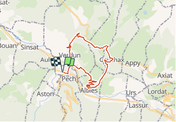

14,8 km | 25 km-effort


Gebruiker


Gratisgps-wandelapplicatie
 SityTrail
IGN / Geografische instituten
SityTrail World
De wereld gaat voor u open
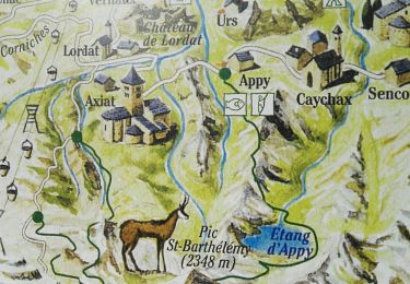
Tocht Stappen van 14,7 km beschikbaar op Occitanië, Ariège, Les Cabannes. Deze tocht wordt voorgesteld door c.chehere.
Se garer sur la place principale de "Les Cabannes".
Itinéraire décrit dans le guide N° 1 édité par l'office du tourisme des vallées d'Ax.
Rando N° 6

Stappen
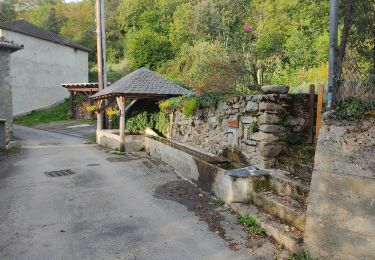
Stappen
Stappen
Stappen
Stappen

Stappen
Stappen
Stappen

Stappen